Hiking tips

Here you will find exclusive hiking tips for your stay in South Tyrol. From breathtaking landscapes to hidden mountain huts – there is something for every hiking enthusiast!

Steep ascent – from Burgstall to Vöran

The Sunnseitensteig Trail

Medium-difficulty hike
Total hiking time about 2 hours

Arrive by bus line 201 (free with the Südtirol Guest Pass) to Burgstall. A wonderful hike for nature-loving sports enthusiasts. About 4 km with an elevation gain of around 910 m. The starting point of the hike is the valley station of the Burgstall-Vöran cable car (270 m). Follow the signs for the Sunnleitensteig trail, which gently ascends through a deciduous forest. The trail continues upwards through the forest on an old cart path. After about 2 km, passing a paved road, the view opens up towards the destination. The mountain station of the Vöran cable car (1,182 m). The ascent continues steeply, and the forest path passes by a farm until, finally, the effort is rewarded with an indescribably beautiful panoramic view. The Bistrot Sunnseit offers not only a cozy sun terrace with a breathtaking view of the surrounding mountains but also homemade cakes, salads, and small cold or warm appetizers. The descent is by cable car.

A recommendation from our receptionist and hiking guide Gabi

On the go in autumn, on the Vöran high plateau

Easy hike
Elevation gain: approx. 350 m
Total hiking time: approx. 4 hours

Take the cable car (free with the South Tyrol Guest Pass) from Burgstall to Vöran. Start in Vöran at the mountain station of the cable car, following trail No. 1 and No. 12 towards "Hafling". At Eggerhof, turn right to reach the Knottnkino, offering views of the entire Etschtal. Return to the Weberhof, then continue on the Schützenbründlweg. Stop for a break at the restaurant, café “Das Stübele” (closed on Mondays). Follow trail No. 14 back towards the Gasthof Grüner Baum, then follow the markings back to the starting point in Vöran village.

Good to know

The word "Knottn" in the South Tyrolean dialect refers to a rock block, boulder, or rocky hill. Millions of years ago, when the Tschögglberg was formed by lava and ash rain, these wine-red, rounded peaks were created.
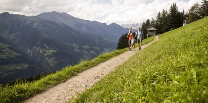

NATURPARADIES SCHENNABERG

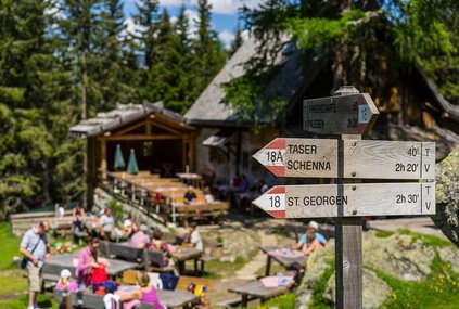
Taser High Trail: An easy, scenic hike with a stop for refreshment

Easy hike
Elevation gain: approx. 365 m
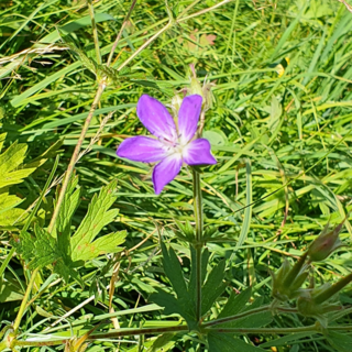
Total hiking time: approx. 2 3/4 hours

From the mountain station of the TASER cable car and the homonymous mountain hut (1,450 m), follow the Taser High Trail No. 40, passing by the Eggerhof. The trail mostly runs through the forest. From Eggerhof, descend to Schnuggerhof and follow the road back to the TASER Alm.

Our recommendation: Treat yourself to South Tyrolean specialties and homemade cakes on the sunny terrace of the Taser Alm at 1,450 m.

(Photo credit: Schenna Tourism Association/Florian Andergassen)

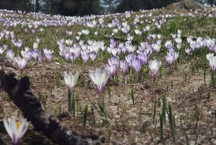
Spring hike

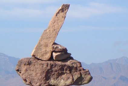
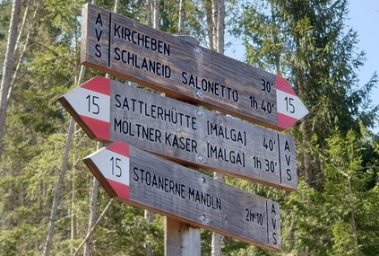
To the "Stoanernen Mandln"

Easy hike
Total hiking time: approx. 5 hours

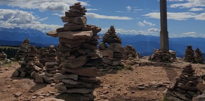
You will encounter countless, some even man-sized stone cairns, surrounded by many legends and stories. At the center, you’ll find the summit cross of Schöneck. The area has a mystical aura and offers a breathtaking panoramic view. From here, you can see the entire Dolomites range, extending all the way to the mighty Ortler mountain.

Directions: Drive to the free parking lot at Kircheben, above Mölten, which is about a 45-minute drive from Meran. The gently ascending forest path No. 15 starts directly at the parking lot and leads to the rustic "Sattler Hütte" (1,604 m). From there, continue along the forest road to the "Möltner Kaser" (1,806 m). From this point, the trail takes you up to the next hill and further to the summit cross of the "Stoanernen Mandln" (2,000 m). The return journey follows the alpine meadows of the beautiful Möltner Joch, with a unique view of the Dolomites.

Spring hike in the Texel Group Nature Park

From Moos to Platt

Easy hike
Total hiking time: approx. 4 hours

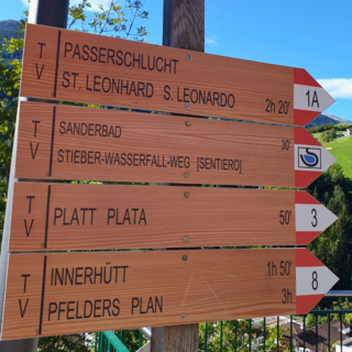
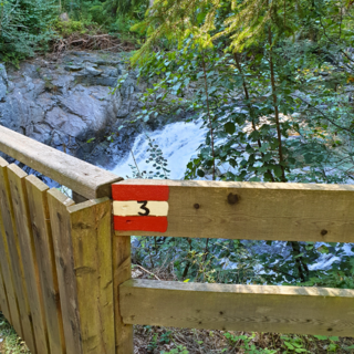
Take the line bus 240 (free with the South Tyrol Guest Pass) to the mountain village of Moos in the Passeiertal, 1007 m. The circular trail, marked with No. 8 (Innerhütt-Pfelders), starts on the main road towards Platt, just after an old wooden bridge. Moderately steep, passing fields and farms, follow the marking No. 3 (Platt) and descend into a small gorge (this is not the Passerschluchtenweg). Passing through forests, fields, ash trees, and a linden alley, you will reach the village of Platt at 1,140 m.

Culture: A fascinating legacy of the Ice Age are the glacier mills of Platt.
Indulge: Stop at Platterwirt, where the Hofer family will treat you to homemade delicacies.

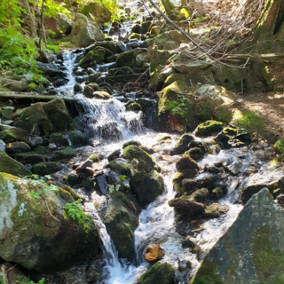
The return route follows trail No. 5. Passing the Gasthaus Bad Sand, an old sulfur spring, the forest path leads to a wild and romantic confluence gorge – the Stieber Waterfalls. The two cascades have a total height of 37 meters. From here, continue back to the starting point.